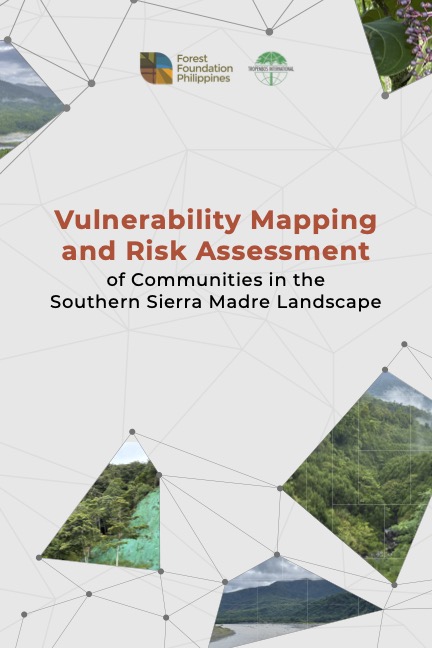
Vulnerability Mapping and Risk Assessment of Communities in the Southern Sierra Madre Landscape

Developed by Kristoffer John D.G. Dakis, our grantee, through the Sustainable and Inclusive Landscape Governance (SILG) Program, a collaboration between us and Tropenbos International, this publication identifies risks to natural hazards within communities, determines the capacitive and sensitivity levels of communities to risks, and proposes a strategy for the communities to adapt to the effects of climate change and natural disasters in the Southern Sierra Madre Region.
Share:

Facebook
Twitter
Pinterest
LinkedIn
Download a Copy
Kindly provide the following information to proceed with the download.
By answering this form, you acknowledge that you have read, understood, and agree to our Privacy Policy.

Vulnerability Mapping and Risk Assessment of Communities in the Southern Sierra Madre Landscape

Thank you for your interest in our work. You can now download the file by clicking the Download button below.

By downloading this document, you acknowledge that you have read, understood, and agree to our Privacy Policy.

For inquiries or concerns, email us at info@forestfoundation.ph