OUR WORK
Landscapes
Forest Foundation Philippines primarily provides grants to support projects in the country’s most critical forest landscapes: Sierra Madre, Palawan, Samar and Leyte, and Mindanao. However, the Foundation also supports projects at the National level, covering the conservation of small islands, mangroves, critical habitats, and urban forests.
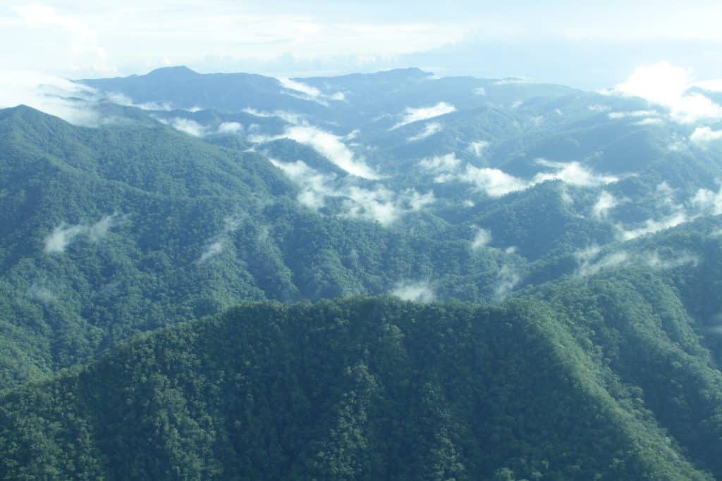
Sierra Madre
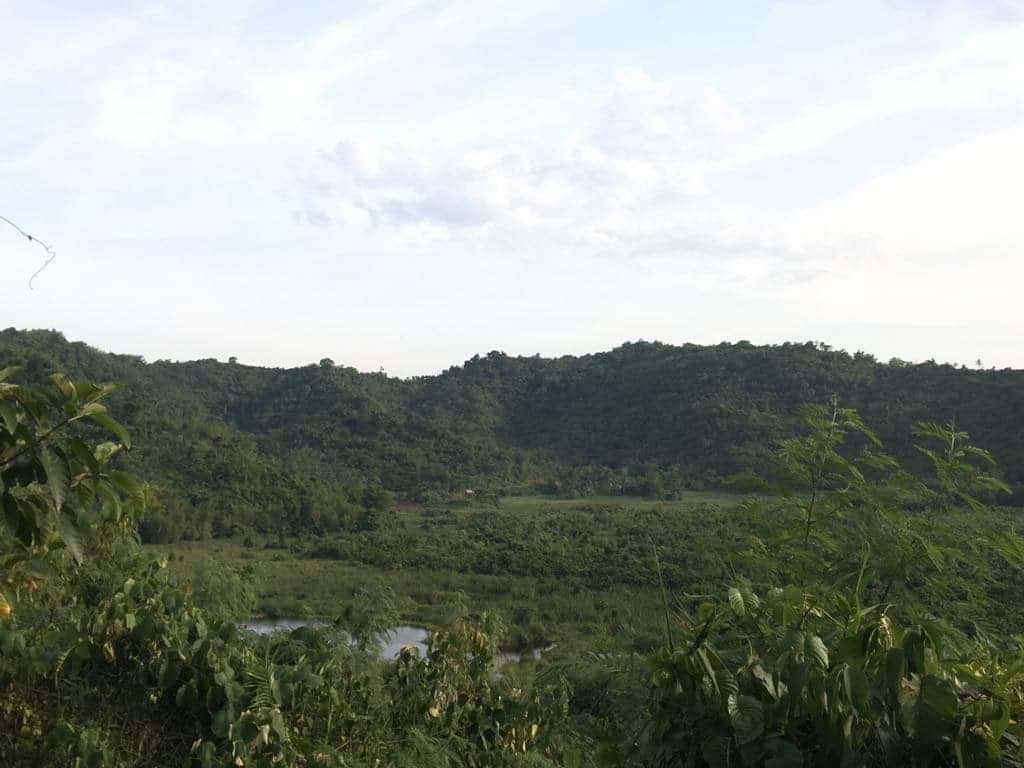
Dubbed the “backbone of Luzon,” the Sierra Madre Mountain Range serves not only as a sanctuary for diverse flora and fauna, but also as Luzon’s strongest defense from typhoons coming in from the Pacific Ocean. It is also home to multiple critical watersheds for water sufficiency and flood mitigation. Decades of deforestation, unsustainable land use, mining, and resource exploitation are negatively affecting the corridor’s ecosystem, threatening not only Sierra Madre’s inhabitants, but millions of Filipinos.
- Total Land Area: 1.4 million hectares
- Passes through Cagayan Valley, Central Luzon, and CALABARZON regions, specifically touching 10 provinces.
- At least 40% of the remaining 22% of forest cover in the Philippines is found in the mountain range.
- Has over 90 different species of endemic animals.
- Protected Areas within Sierra Madre include the Northern Sierra Madre Natural Park, Penablanca Protected Landscape and Seascape, Tumauini Watershed Natural Park, Quirino Protected Landscape, Casecnan Protected Landscape, Amro River Protected Landscape, Dinadiawan River Protected Landscape, Simbahan Talagas Protected Landscape, Talaytay Protected Landscape, and Upper Marikina River Basin Protected Landscape.
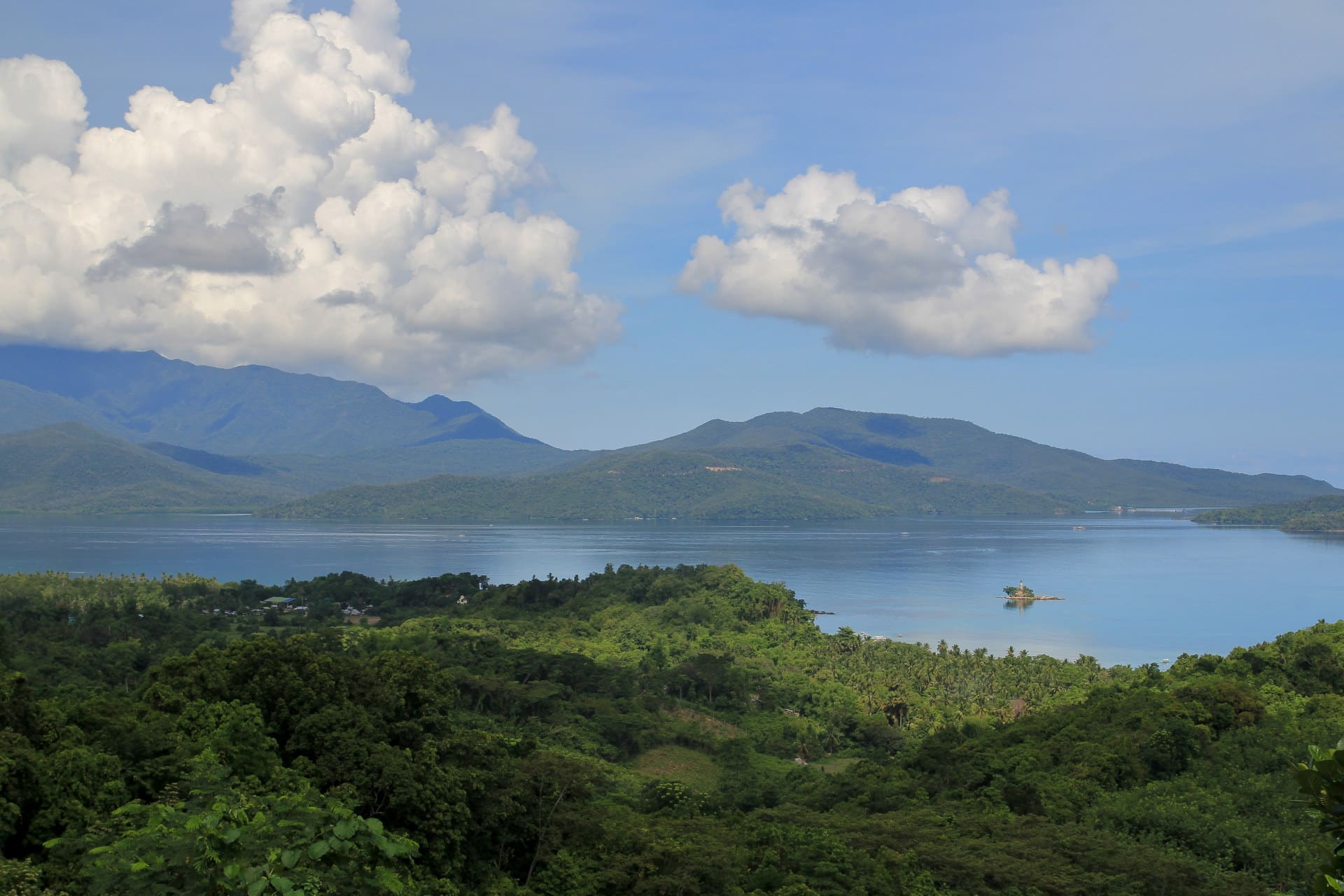
Palawan
Known as the Philippines’ “last ecological frontier,” Palawan is home to a rich and varied biodiversity, an abundance of natural resources, and vast expanses of mangroves. The entire province is covered by Republic Act 7611 (or the Strategic Environmental Plan for Palawan) to ensure that its resources are protected, conserved, utilized and managed effectively. Palawan’s growing tourism industry — along with mining and encroachment of agricultural and residential land — is leading to further forest loss, weakening ecosystems, and increasing vulnerability to climate change risks.
- Total land area: 1.49 million hectares with 1,768 islands
- Forest land: 689,161 hectares
- Equivalent to a tenth of the Philippines’ entire forest cover.
- Home to more than 1/3 of terrestrial and marine vertebrate wildlife in the Philippines.
- Has nine protected areas, including the El Nido Managed Resource Protected Area, Mt. Mantalingahan Protected Landscape, and Puerto Princesa Subterranean River Park.
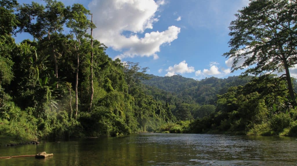
Samar and Leyte
The forested landscapes of Leyte, Eastern Samar, and Samar feature a number of watersheds that support agricultural and domestic water use. In Samar Island, the long stretch of mangroves forests protect low-lying communities from the effects of severe weather conditions. These mangrove forests, however, suffer from widespread destruction and exploitation. Meanwhile, in Leyte, peatlands, which is one of the major identified unique forest types, are present. Peatlands are an important type of forest that helps mitigate climate change impact. Unfortunately, peatlands also face the negative consequences of land-use changes.
- Total land area: 2,156,285 hectares
- Samar Island is the biggest island in the region (1,355,935 hectares or around 63% of the region’s total land area)
- Leyte is the second biggest island in the region (744,760 hectares or 35% of the region’s total land area)
- Forest area: 609,325 hectares (about 28% of the total land area)
- One of the two major peatland areas in the country is in Leyte: Leyte Sab-a Peatland Forest.
- Has a thriving biodiversity, which includes over 1,000 plant species and over 300 animal species.
- Has 10 protected areas, including the Samar Island Natural Park (the largest terrestrial protected area in the Philippines).
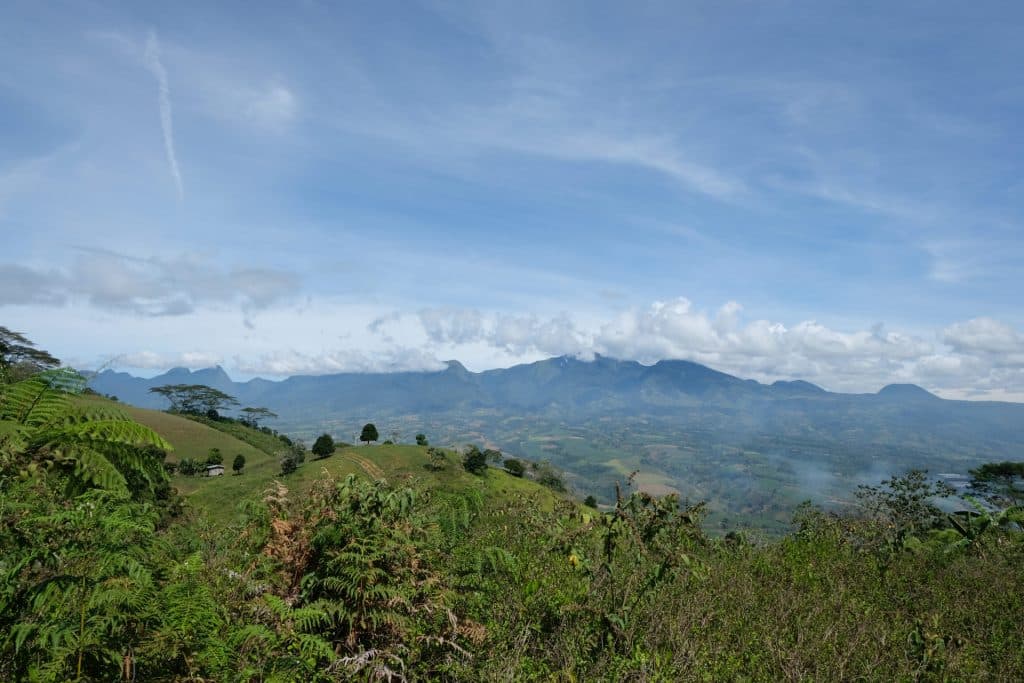
Mindanao
Bukidnon and Misamis Oriental are known for their lush forests, rich soils, and booming agricultural industry. It is also home to the Cagayan de Oro River Basin, which provides water to adjacent cities and provinces, among others. The Foundation will expand its geographical coverage in the adjacent forested landscapes of Lanao del Sur, and select forested landscapes within the Eastern Mindanao Biodiversity Corridor (EMBC) to achieve the sustainable landscape approach to natural resource management. Lanao del Sur lies west of Bukidnon, with a total forest cover of 150,151 hectares, critical for the reliability of hydropower plants as renewable energy sources in Mindanao. The EMBC on one hand, which lies east of the Bukidnon, is a long stretch of lowland and mid- to high elevation forests along the east coast of Mindanao. The EMBC hosts a large proportion of the country’s unique floral and faunal species, and home to a number of IP groups. These remaining large forest blocks are threatened by illegal activities, land conversion, encroachment, increasing population pressure, and climate change. Worsening floods have also severely affected indigenous communities and endemic flora and fauna species.
- Bukidnon is ranked 9th among Philippine provinces with highest forest cover.
- Misamis Oriental is a predominantly coastal province bounded by the Macajalar and Gingoog Bays, and features a vast central river system, originating from the mountains of Bukidnon.
- The remaining forests of Lanao del Sur as of 2020 are about 149,263 hectares, mostly located in the watersheds of Lake Lanao.
- The Eastern Mindanao Biodiversity Corridor spans two administrative regions of CARAGA and Davao Regions, and several municipalities and stretches along the east coast of Mindanao, from Dinagat Island to the Mt. Hamiguitan Range.

Support for Areas Outside the Focal Landscapes
Outside of the focal landscapes, site-based projects will follow a programmatic approach, which employs strategic arrangements that will result to:
- increasing resiliency and adaptive capacities of small island ecosystems;
- upscaling mangrove and beach forests conservation;
- mainstreaming climate change adaptation in watershed management; and
- characterizing and recognizing Other Effective Area-Based Conservation Measures (OECMs) potentially within the Eastern Mindanao Biodiversity Corridor and other known Key Biodiversity Areas (KBAs).
- Small Islands
- This refers to islands with a total land area of less than 2,000 square kilometers and a total population of more than 200,000, and with natural forest cover of at least 30% of the total land area.
- From 2017 to present, two small islands are currently being supported by the Foundation: Batanes and Dinagat Islands.
- Mangroves
- This refers to projects focused on upscaling mangrove conservation initiatives, which may include the maintenance of or increase in mangrove forest area, support for livelihood opportunities that are consistent with mangrove conservation, and expansion and strengthening of forest management bodies. Read more about it here.
- Critical Habitats
- This refers to projects contributing to the assessment, protection, and eventual declaration of critical habitats.
- Three projects are currently being supported, all for the conservation of known Philippine eagle habitats: Calanasan in Apayao, Maitum in Sarangani, and Manay and Tarragona in Davao Oriental.
- Urban Forests
- The Foundation, in partnership with DENR BMB, Philippine Institute of Environmental Planners, and Philippine Association of Landscape Architects, is implementing an Urban Forest Bathing Partnership Project as part of the BMB Urban Biodiversity Program. Read more about it here.
Special Program: Dr. Perry S. Ong Fellowship Program
In 2021, Forest Foundation recognized individuals who promote, advance, and enhance the protection and conservation of Philippine forests and forest biodiversity through research, community work, advocacy, arts, and teaching under the Dr. Perry S. Ong Fellowship Program.
It recognizes and honors the life work of the late conservationist Doc Perry, who passed away on March 2, 2019. He served as one of the founding Trustees of the Foundation, and played key roles in shaping the Foundation’s commitment to protect and conserve the country’s most critical forests.
More information on the program can be found here.